Introduction | Towns & Villages | Mountains | Landscapes | Buildings | Hiking | Plants & Animals | Photos
Towns and Villages: Between Mont Plaux and Peylenc, Sumène Valley
About the Villages | Additional Information | Map | Photo Album | Hiking Tours | Links
This page introduces a couple of villages between Mont Plaux and Peylenc (Sumène valley): Sumène, Saint-Pierre-Eynac, Eynac, and Tournecol.
About the Villages
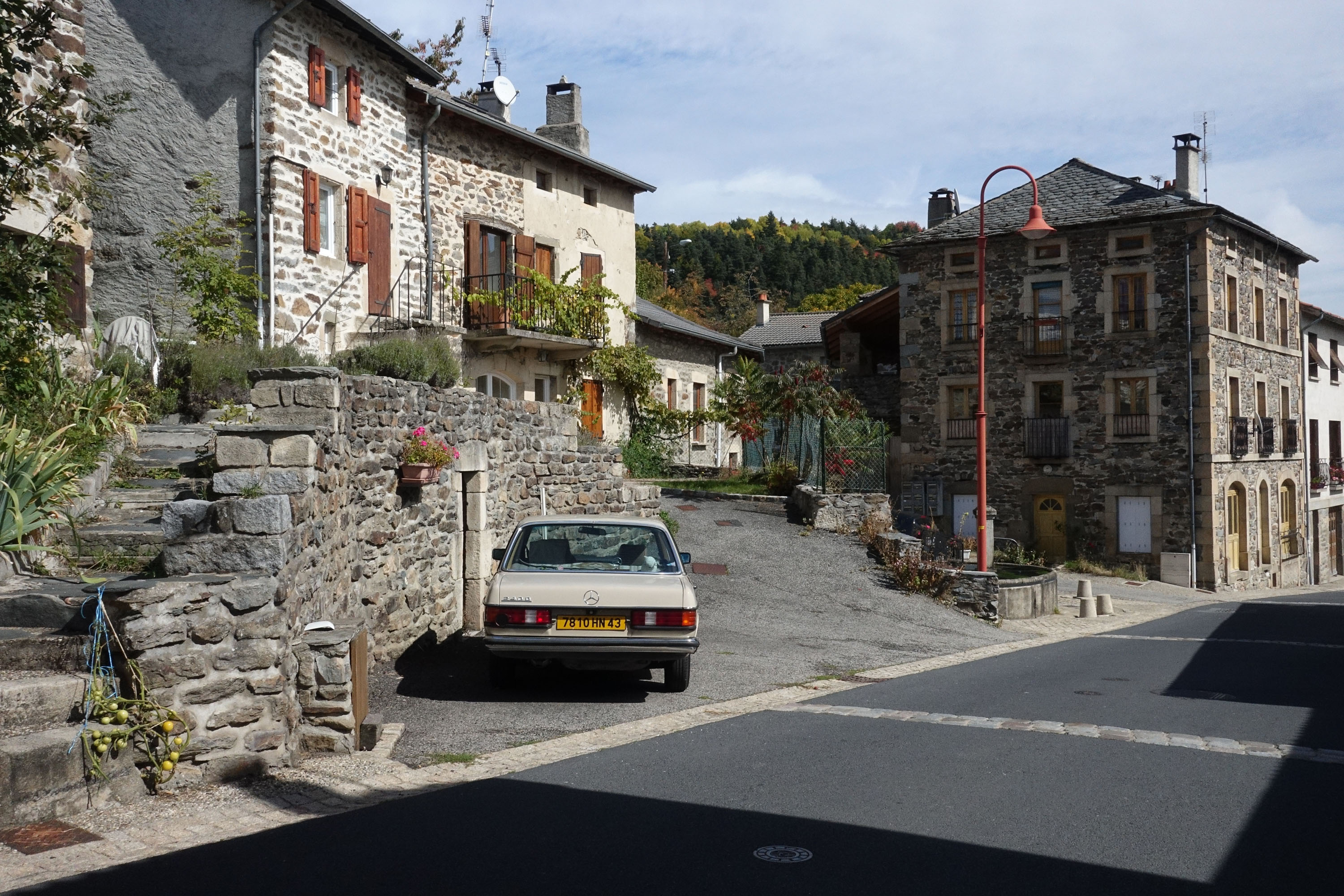
Sumène
Since 2015, Sumène (797 m), a small village on the outskirts of Saint-Julien-Chapteuil, has been our "centre", or to be more precise, it is the former campsite of Sumène, which also offered overnight accommodation for St. James pilgrims with food and a family connection. In the meantime, we are the last campers there, pilgrims don't stay overnight any more, and how long we can stay there is open.
Sumène is situated at an altitude of about 800 m in the fairly flat Sumène valley and used to be a farming village. There still seem to be a few active farmers today. Our camping site owners were also farmers in the past and sold their property in part, and in part lease it to other farmers. The trend in France is, however, towards large yards with huge barns, and such a farm, probably a pig farmyard (you can hear the fans and sometimes smell it as well...), lies outside the village towards the Sumène and towards Saint-Pierre-Eynac. In the village there is a b èate/assemblée (next to the campsite) and a few meters further on a public oven.
Sumène is located at the D26 to Saint-Pierre-Eynac (which joins the N88 behind Aupinhac). Behind the village there is an old bridge over the Sumène river. Then the road winds up the mountain in serpentines, meets the D261 from Le Collet and leads to Saint-Pierre-Eynac. South of Sumène, the D15, to which there are small "access roads" in Sumène, leads westwards to Le Puy.
We can take many walks from our campsite in Sumène, but of course, other starting points nearby are also possible.
Saint-Pierre-Eynac
In less than half an hour you can reach Saint-Pierre-Eynac (870 m; 1117 inhabitants (2016/17)) on foot via the D26 going steeply uphill and a few shortcuts to Saint-Pierre-Eynac at Mont Plaux (1032 m, several peaks). Most of the time we follow this way to lunch (and back) if we want to go fast, otherwise we use other trails.
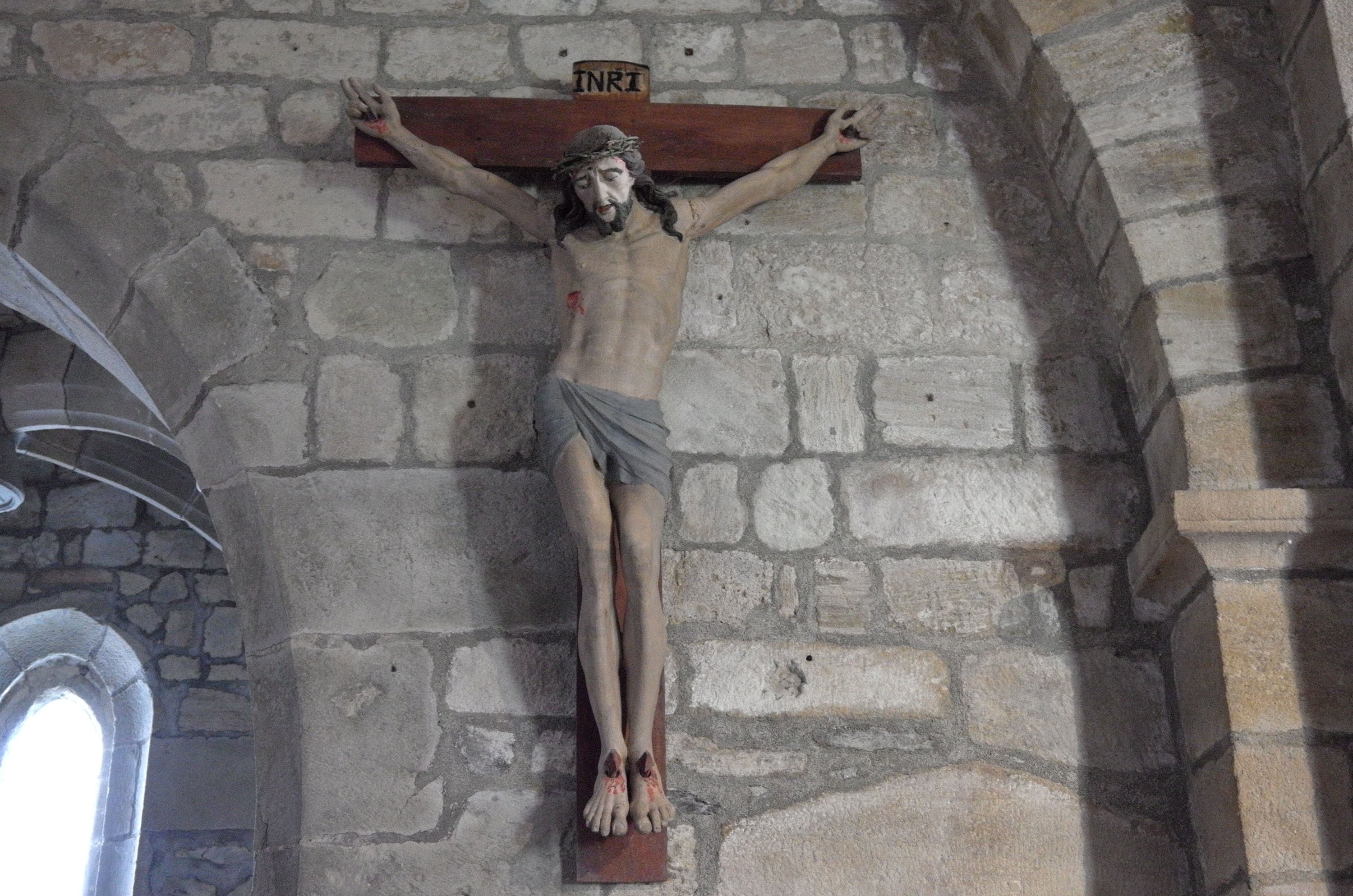
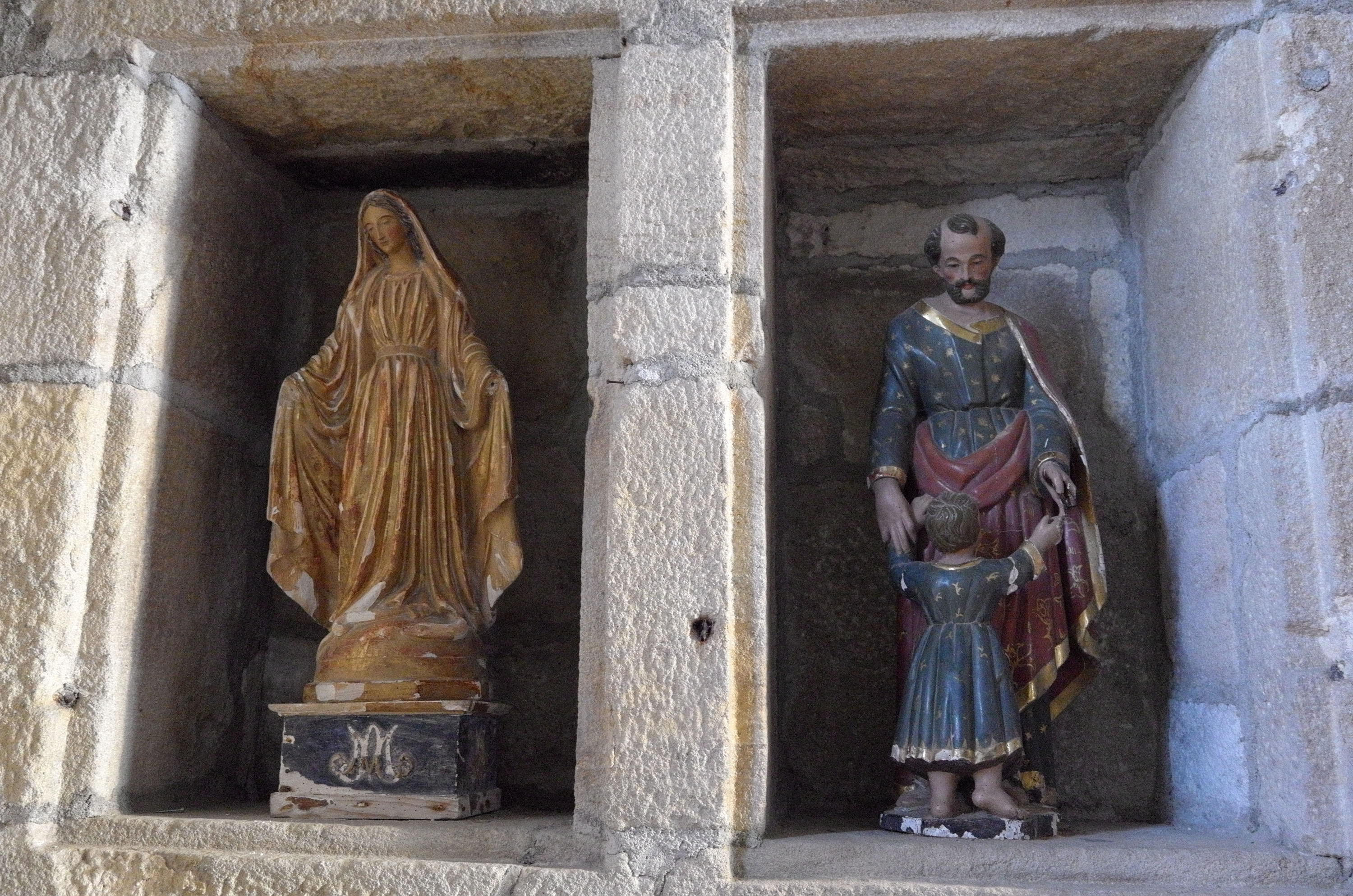
Saint-Pierre-Eynac is a regional centre with a school and a Romanesque church from the 11th century. In some places the village seems to be "glued to the rock." Above the village is a large white statue of a Madonna with a lightning rod on her head. This statue and the huge former quarry can be seen from a distance. Mont Plaux (1032 m, several peaks) is a rather inconspicuous mountain with a large forest area north of Saint-Pierre-Eynac. The village has again a restaurant with lunch (l' Amuse Bouche), where we dine at least once per holiday (together with craftsmen...), and a bar which used to be the restaurant of the village. To the west of the village there is a lonely gîte for pilgrims (Gîte de la Fontaine, a little off the pilgrim's trail), which advertises itself for miles in advance.
Eynac
From Saint-Pierre-Eynac, a road leads down into the Sumène valley to Eynac (approx. 800 m), which lies next to a remarkable basalt rock, the Rocher de Eynac. Probably the Sumène cut it off from Peylenc over time... Because of its appearance at the top we use to call the rock the "sleeping dog." We only climbed it a little bit, and it is also difficult to access from the village.
You can also follow the Sumène valley from Sumène or Saint-Julien-Chapteuil to reach Eynac. Eynac is also connected to the D15 (to drive to Le Puy or Saint-Julien-Chapteuil) using a small street with a bridge over the Sumène.
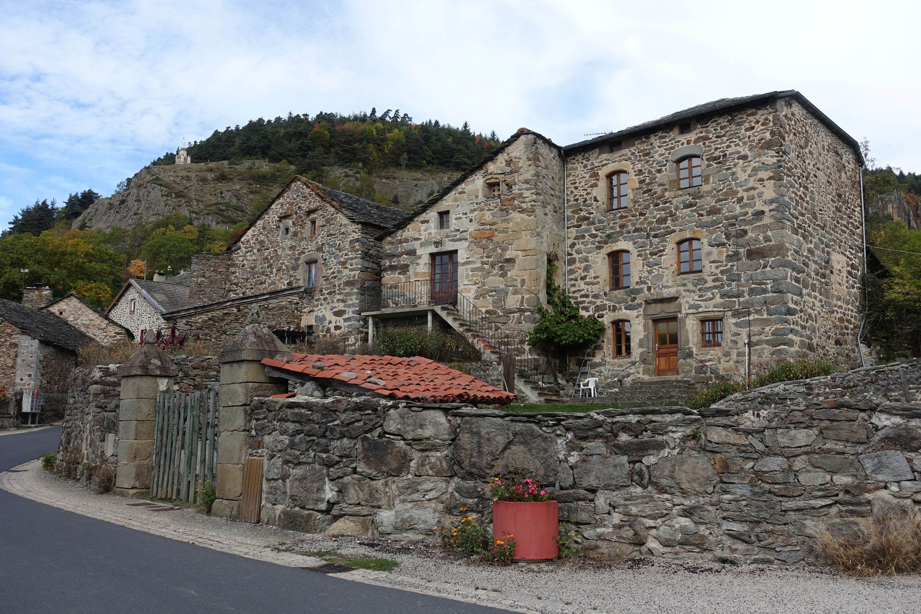
Tournecol
From Eynac there is a small road to Tournecol (787 m), leaving the Sumène valley at a former watermill and rising steadily. Tournecol is situated on a plateau without forest and is a very spacious village with a village square where you can picnic, a rarity in this area.... The road descends to the Sumène river with a bridge and further on to Les jardins d'Espaladous, a private area, where you can get therapy with Bach flowers and stay overnight, and where the Sumène flows further west.
When we hike in this area, we typically do not follow the road to Tournecol, but continue in the Sumène valley to the above-mentioned bridge and then return via Tournecol. Sometimes, we also climb up the mountain to the north and walk in a large arc to Saint-Pierre-Eynac (or we come from there, for example after a lunch) and then go further back to Sumène (there are many possibilities...). Since we usually come from the opposite direction to Tournecol, we are faced with the choice to go back to Eynac or walk the trail around the Peylenc mountain. The latter leads to a huge quarry, which is still in operation, and a little further around the mountain to private caves. Above the caves there is a spherical rock which can be seen from afar.
Mountains
Mont Plaux (1032 m, mehrere Gipfel), Peylenc (923 m), Rock of Eynac (832 m)
Additional Information
Curiosities
- Romanesque church, Virgin Mary statue, and quarry in Saint-Pierre-Eynac
- Rocher d'Eynac (rock of Eynac)
- Peylenc quarry
- Grottoes of Peylenc (Grottes de Peylanc)
Facilities
- Restaurant l'Amuse Bouche at Saint-Pierre-Eynac
- Gîte de groupe de la Fontaine
Specialties
- Les jardins d'Espaladous (Bach flowers therapy)
Towns and Villages Near-by
- Saint-Julien-Chapteuil
- Saint-Hostien
Road Connections
- D26 north from Saint-Julien-Chapteuil via Sumène to Saint-Pierre-Eynac and then via Aupinhac to N88
- D15 and small roads to Sumène and Eynac
Curiosities in the Environment
- Meygal massif
- Church and basaltique rocks in Queyrières
- Saint-Julien-Chapteuil with its Romanesque church and other curiosities
Map
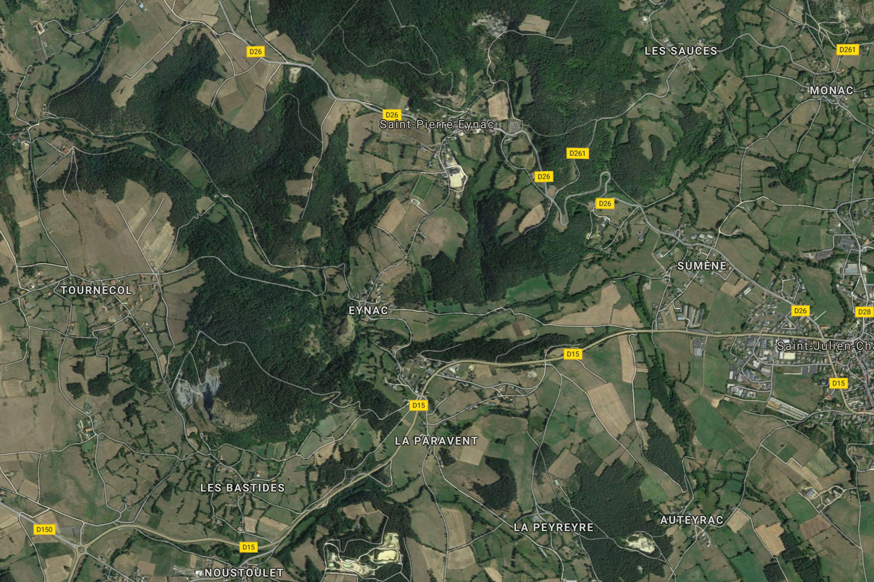
Photo Album
Saint-Pierre-Eynac
 |
 |
 |
 |
Hiking Tours
| Starting Point | Length | Duration | Altitude |
|||||
| Number | Recommended | Alternative | Name | (km) | h:min | min | max | References |
| PR191 | St. Pierre-Eynac | Marcilhac | Circuit de Monac | 9,5 |
2:30 |
775 |
1020 |
23 – Autor de St. Hostien, sur le contreforts du Meygal (It. Péd. En Ht. Loire) |
| PR191 | St. Pierre-Eynac | Marcilhac | Autour de Monac | 8,5 |
2:30 |
768 |
1020 |
Le Pays des Sucs et du Meygal … à pied (15) |
| Magenta: Older version (Randonées pédestre et VTT au pays des sucs - Yssingeaux) | ||||||||
| Blue (italic number): Older version (Itineraires Pedestres en Haute-Loire) | ||||||||
| Red: New | ||||||||
Details:
- Respirando - Les sentiers de Promenades et Randonnées (PR) Respirando: www.respirando.fr/index.php/apied/les-sentiers-de-petites-randonnees-pr-respirando.html
Links
- Saint Julien Chapteuil (site de la commune, F): www.saintjulienchapteuil.fr
- Jules Romains (Wikipedia, DE): de.wikipedia.org/wiki/
- Bienvenue au Pays du Meygal (F): www.auvergne-paysdumeygal.com
- Les jardins d'Espaladous: www.espaladous.com
- Gîte de group de la Fontaine: www.gites-de-france.com/location-vacances-Saint-pierre-eynac-Gite-de-sejour-Gite-La-Fontaine-43G15298.html
- L'Amuse Bouche: www.lamusebouche-saintpierreeynac.fr
|
made by |
||
| 12.03.2019 |